CheckPoint
CheckPoint is an advanced reporting system which allows for the management and reporting of Land, Marine and Shallow Water Surveys in a single package.

CheckPoint is easy to setup and use, and provides fully customisable reports along with full statistical analysis of time and production.
BreakPoint
BreakPoint is a system for mapping SPS position data and positioning receivers using First Breaks
CoverPoint
CoverPoint is a system for binning acquisition from 3D marine surveys.

TargetPoint
TargetPoint is a system for generating preplots for 2D and 3D survey operations.

NavPoint
NavPoint is a format checker for the OGP Px/11 navigation formats, along with the legacy Ukooa P1/90 and P2/9x formats

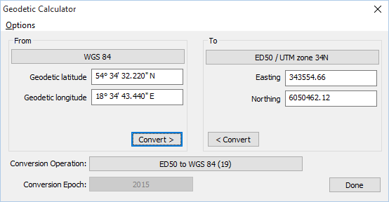
Geodetic Calculator
Geodetic Calculator is an application which performs geodetic computations. A free version for Windows is available from the downloads page, and a version for the iPad, iPhone or iPod Touch is available from the Apple App Store.

